# Import libraries
import io
import sys
import subprocess
from pathlib import Path
import requests
from zipfile import ZipFile
import functools
import shutil

# Find GRASS Python packages
sys.path.append(
  subprocess.check_output(
    ["grass", "--config", "python_path"],
    text=True
    ).strip()
  )

# Import GRASS packages
import grass.jupyter as gj
import grass.script as gs
from grass.tools import ToolsMap Projections
tutorial
grass
python
Map projections
Setup
Download land
[2]
# Set url
url = "https://naciscdn.org/naturalearth/10m/physical/ne_10m_land.zip"

# Set path
data = Path.cwd() / "data"
data.mkdir(exist_ok=True)
land = data / Path(url).name

# Download dataset
request = requests.get(url, allow_redirects=True)
if request.status_code != 200:
    raise ConnectionError(f"Error downloading file: {request.status_code}")
land.write_bytes(request.content)
print(land)

# Unarchive dataset
with ZipFile(land, 'r') as archive:
    archive.extractall(path=land.parent)

# Delete archive
land.unlink()
Download graticules
# Set url
url = "https://naciscdn.org/naturalearth/10m/physical/ne_10m_graticules_15.zip"

# Set path
data = Path.cwd() / "data"
data.mkdir(exist_ok=True)
graticules = data / Path(url).name

# Download dataset
request = requests.get(url, allow_redirects=True)
if request.status_code != 200:
    raise ConnectionError(f"Error downloading file: {request.status_code}")
graticules.write_bytes(request.content)
print(graticules)

# Unarchive dataset
with ZipFile(graticules, 'r') as archive:
    archive.extractall(path=graticules.parent)

# Delete archive
graticules.unlink()
Natural Earth II
[3]
# Start GRASS in Natural Earth II project
gs.create_project("natural_earth", epsg=54078, overwrite=True)
session = gj.init("natural_earth")
tools = Tools()

# Import natural earth vector
tools.v_import(input=land.with_suffix(".shp"), output="land")

# Print projection information
tools.g_proj(format="shell", flags="p").text
# Display projection
m = gj.Map(width=800)
m.d_vect(map="land", color="black", fill="black")
m.d_grid(size=15, color="black", flags="gbt")
m.show()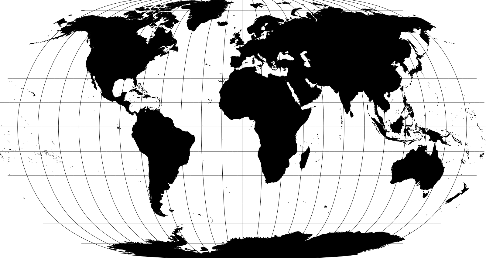
Equal Earth
[4]
# Create Equal Earth project
tools.g_proj(proj4="+proj=eqearth +lon_0=0 +x_0=0 +y_0=0 +datum=WGS84 +units=m +no_defs +type=crs", project="equal_earth")
# Start GRASS in Equal Earth project
session = gj.init("equal_earth")
tools = Tools()
# Import natural earth vector
tools.v_import(input=land.with_suffix(".shp"), output="land") # epsg="4326", , flags="o"
# Print projection information
tools.g_proj(format="shell", flags="p").text# Display projection
m = gj.Map(width=800)
m.d_vect(map="land", color="black", fill="black")
m.d_grid(size=15, color="black", flags="gbt")
m.show()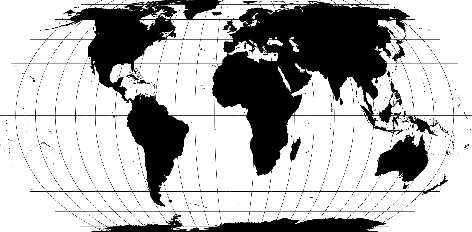
Airocean
[1]
# Create Airocean project
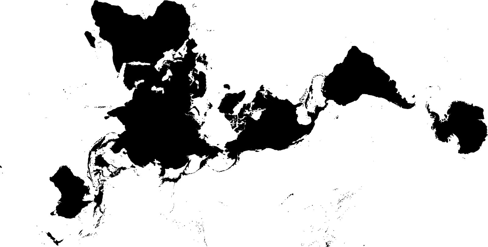
tools.g_proj(proj4="+proj=airocean +orient=horizontal +lon_0=0.0 +x_0=0.0 +y_0=0.0 +datum=WGS84 +type=crs", project="airocean") # vertical
# Start GRASS in Airocean project
session = gj.init("airocean")
tools = Tools()
# Import natural earth vector
tools.v_import(input=land.with_suffix(".shp"), output="land")
# Print projection information
tools.g_proj(format="shell", flags="p").text# Display projection
m = gj.Map(width=800)
m.d_vect(map="land", color="black", fill="black")
m.show()
Peirce Quincuncial
# Create Peirce Quincuncial project
tools.g_proj(proj4="+proj=peirce_q +lon_0=25 +shape=square +datum=WGS84 +type=crs", project="peirce_quincuncial") # +shape=diamond
# Start GRASS in Peirce Quincuncial project
session = gj.init("peirce_quincuncial")
tools = Tools()
# Import land
tools.v_import(input=land.with_suffix(".shp"), output="land")
# Import graticules
tools.v_import(input=graticules.with_suffix(".shp"), output="graticules")
# Print projection information
tools.g_proj(format="shell", flags="p").text# Display projection
m = gj.Map(width=800)
m.d_vect(map="land", color="black", fill="black")
m.d_vect(map="graticules", color="black", fill="none")
m.show()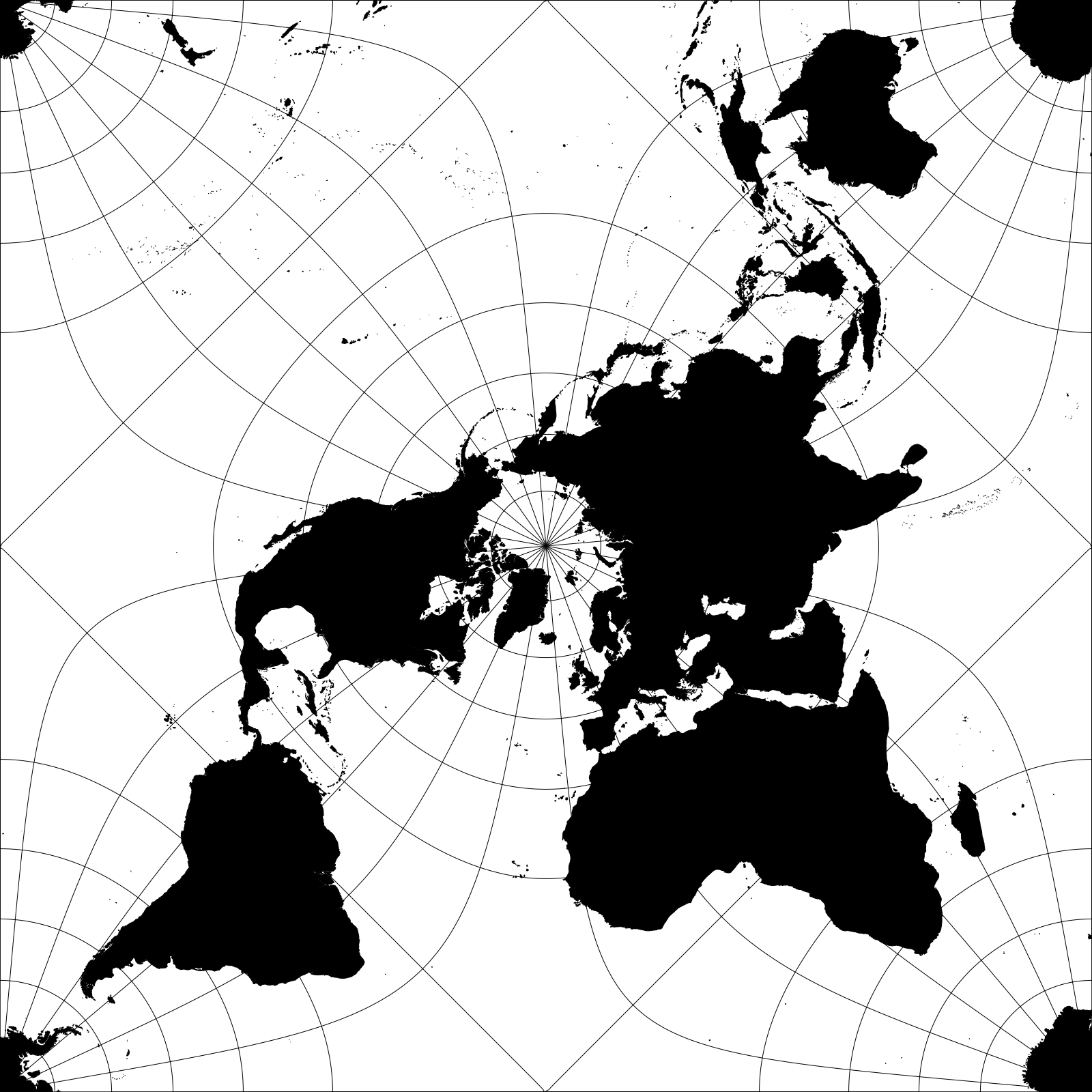
van der Grinten IV
# Create van der Grinten IV project
tools.g_proj(proj4="+proj=vandg4 +datum=WGS84 +type=crs", project="vandg4")
# Start GRASS in van der Grinten IV project
session = gj.init("vandg4")
tools = Tools()
# Import land
tools.v_import(input=land.with_suffix(".shp"), output="land")
# Print projection information
tools.g_proj(format="shell", flags="p").text# Display projection
m = gj.Map(width=800)
m.d_vect(map="land", color="black", fill="black")
m.show()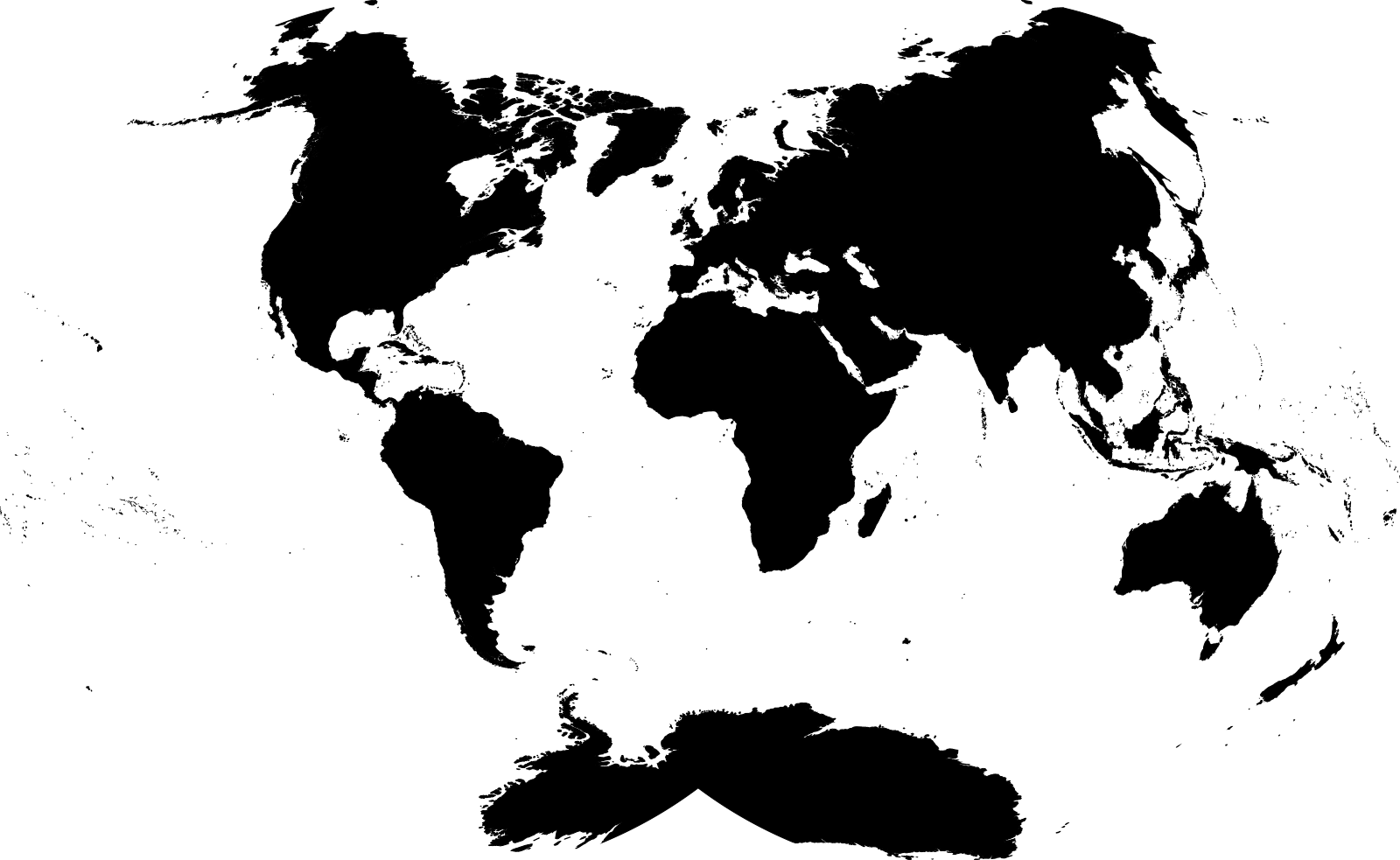
References
[1]
Robert W. Gray. 1995. Exact transformation equations for Fuller’s world map. Cartographica 32, 3 (1995), 17–25. https://doi.org/10.3138/1677-3273-Q862-1885
[2]
Nathaniel Vaughn Kelso and Tom Patterson. 2010. Introducing natural earth data. Geographia Technica 5, 1 (2010), 82–89.
[3]
Bojan Šavrič, Tom Patterson, and Bernhard Jenny. 2015. The Natural Earth II world map projection. International Journal of Cartography 1, 2 (2015), 123–133. https://doi.org/10.1080/23729333.2015.1093312
[4]
Bojan Šavrič, Tom Patterson, and Bernhard Jenny. 2019. The Equal Earth map projection. International Journal of Geographical Information Science 33, 3 (2019), 454–465. https://doi.org/10.1080/13658816.2018.1504949