Erosion in GRASS GIS
A tutorial on erosion modeling in GRASS GIS.
Contents
Erosion Modeling
This tutorial is an introduction to modeling erosion with RUSLE3D, USPED, and SIMWE in GRASS GIS.
This tutorial uses the
Governor’s Island Dataset for GRASS GIS.
Download, extract, and move this geospatial dataset
for Governor’s Island in New York City
to your grassdata directory.
Start GRASS GIS,
set the GRASS GIS database directory to grassdata directory,
select nyspf_governors_island as your location,
and create a new mapset named erosion.
Start by setting the region, setting a mask,
and smoothing the terrain.
Zoom in on the landforms in the southwest of the island
and set the computational region.
Then set a mask to the vector map shoreline with the module
r.mask.
Smooth the digital elevation model using the module
r.neighbors
to reduce noise from the lidar.
g.region n=189850 s=189100 e=978550 w=976850
r.mask vector=shoreline
r.neighbors -c input=elevation_2017 output=elevation size=5
r.colors -e map=elevation color=elevation
Derive landcover from a vegetation index such as the Normalized Difference Vegetation Index (NDVI). First use the module i.vi to compute NDVI with the red and near infrared channels of the 2018 orthophotograph. Then recode the map of NDVI as landcover. Recode values below 0 as developed open space, values between 0 and 0.2 as bare ground, and values greater than 0.2 as grass.
-1:0:21:21
0:0.2:31:31
0.2:1:71:71
Set the color table to nlcd
to match the USGS National Landcover Dataset.
i.vi output=ndvi red=imagery_2018.1 nir=imagery_2018.4
r.recode input=ndvi output=roughness rules=landcover.txt
r.colors map=landcover@erosion color=nlcd
| Imagery 2018 |
|---|
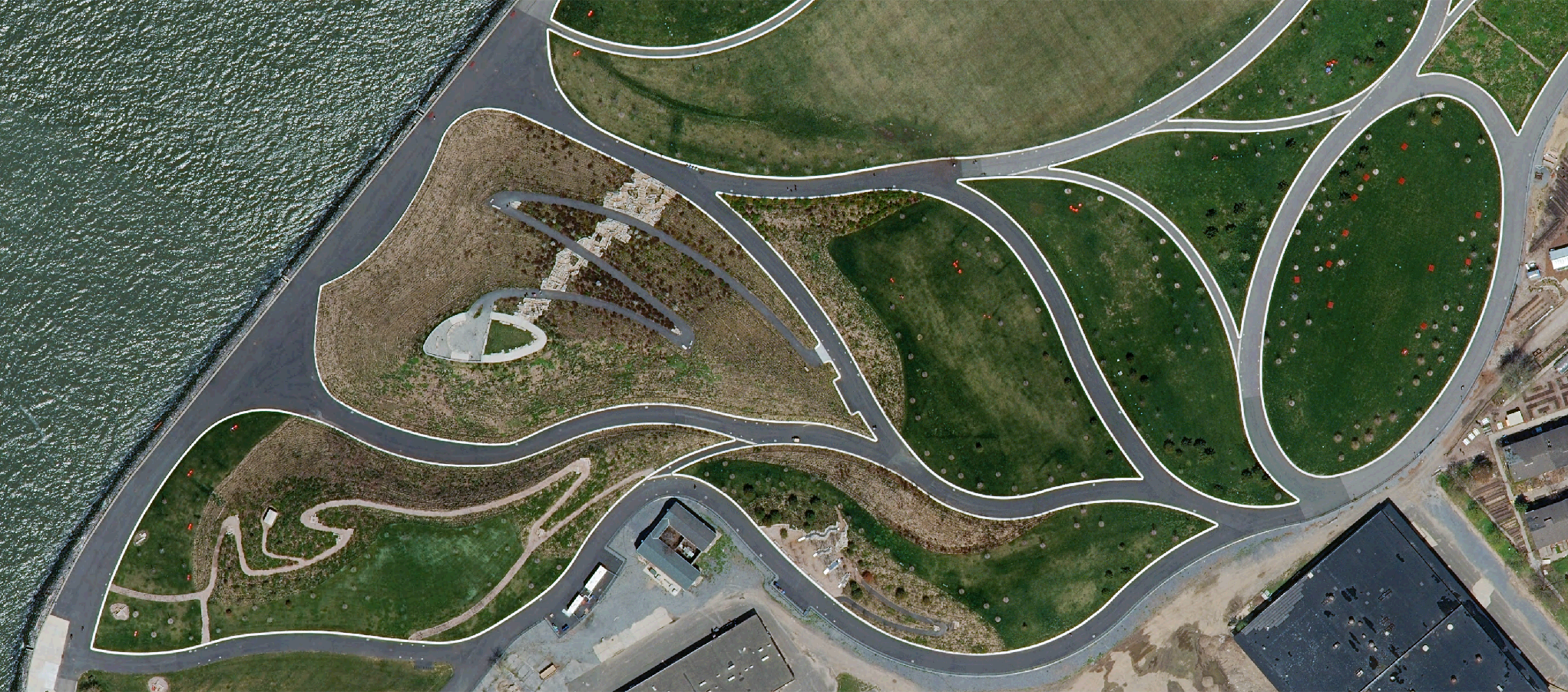 |
| Normalized Difference Vegetation Index |
|---|
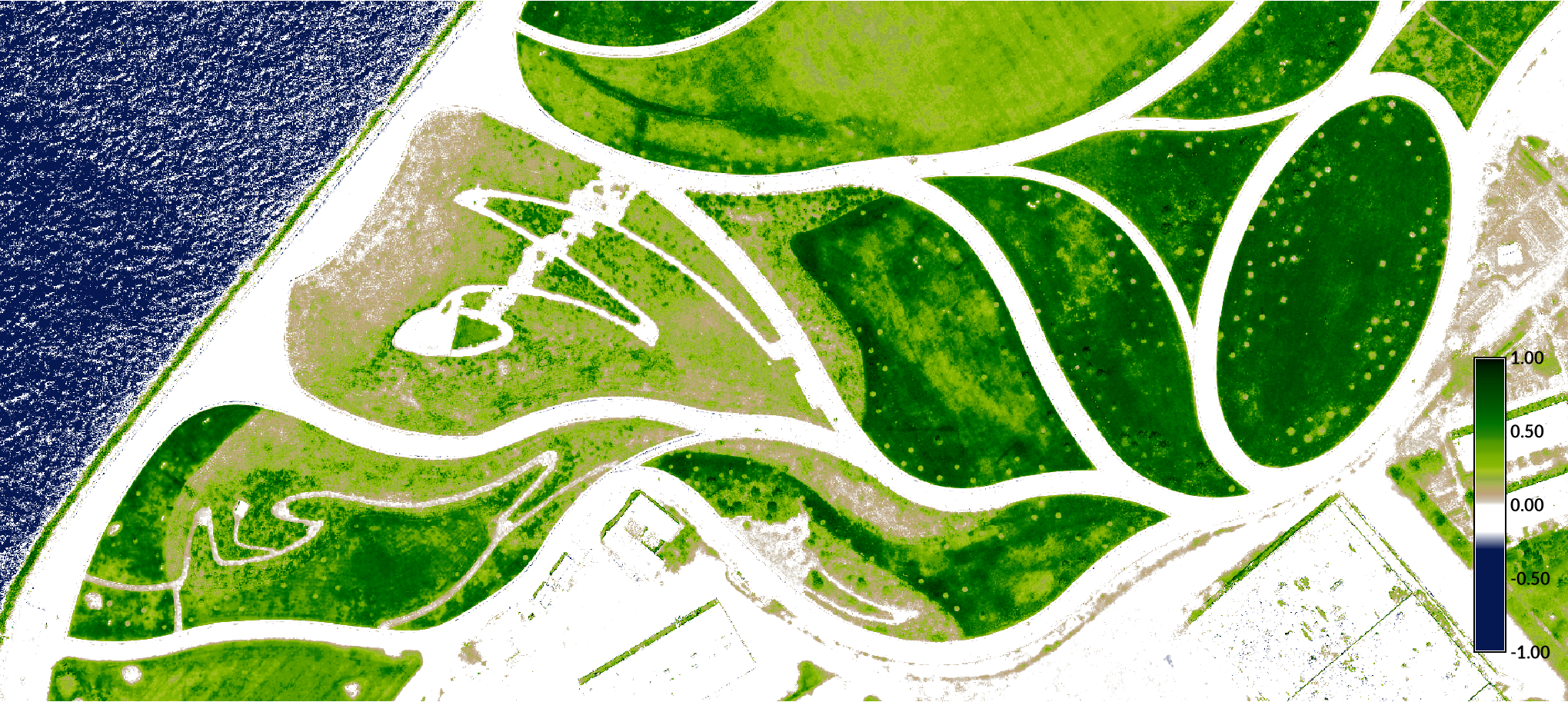 |
| Landcover from NDVI |
|---|
 |
RUSLE3D
3-Dimensional Revised Universal Soil Loss Equation (RUSLE 3D) model
R-factor from Panagos dataset
USPED
the Unit Stream Power Erosion Deposition (USPED) model
SIMWE
The Simulation of Water Erosion (SIMWE) model