Brendan Harmon
About
Projects
Courses
Tutorials
Code
Data
Publications
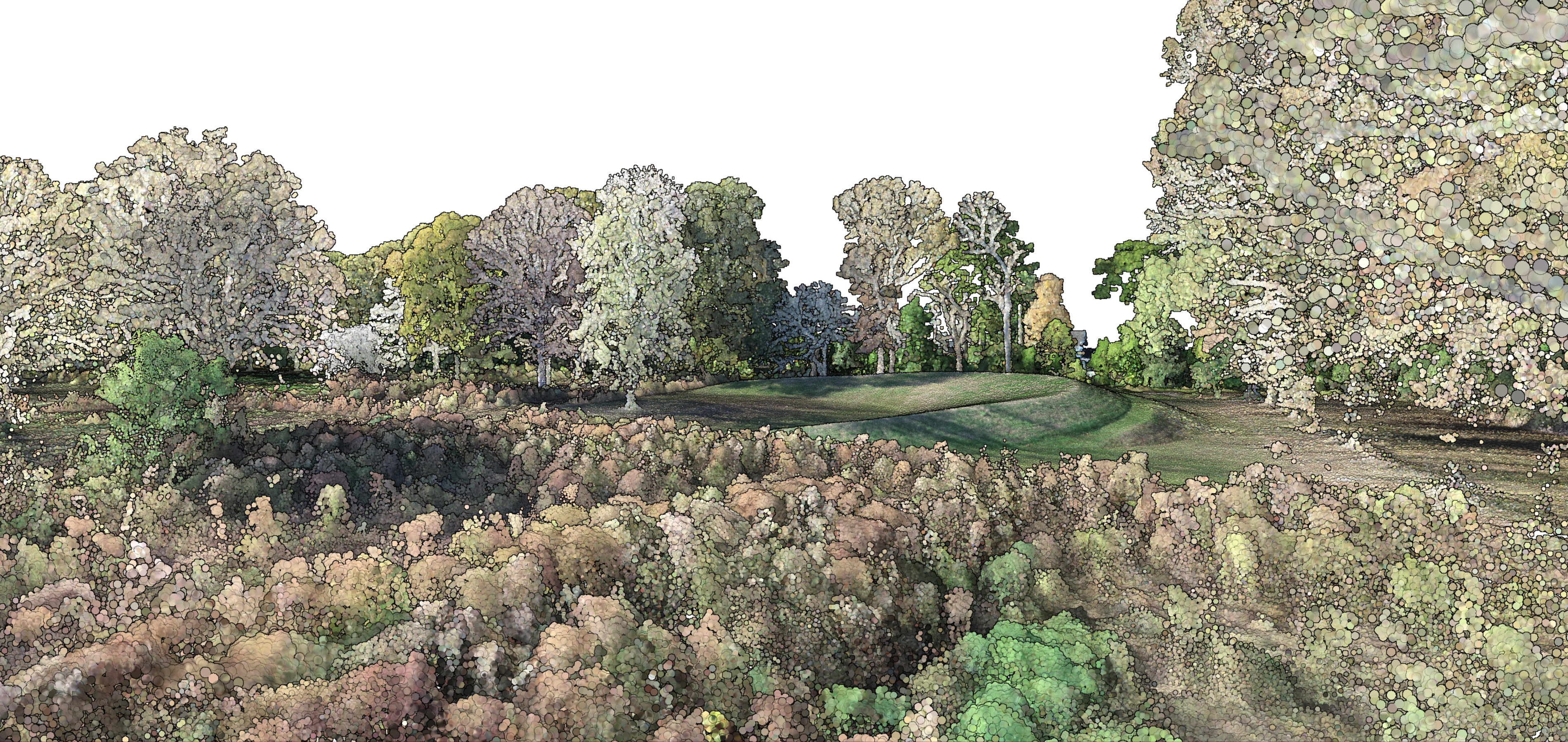
Spatial Science
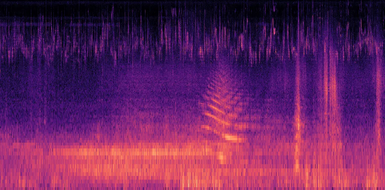
Soundscapes
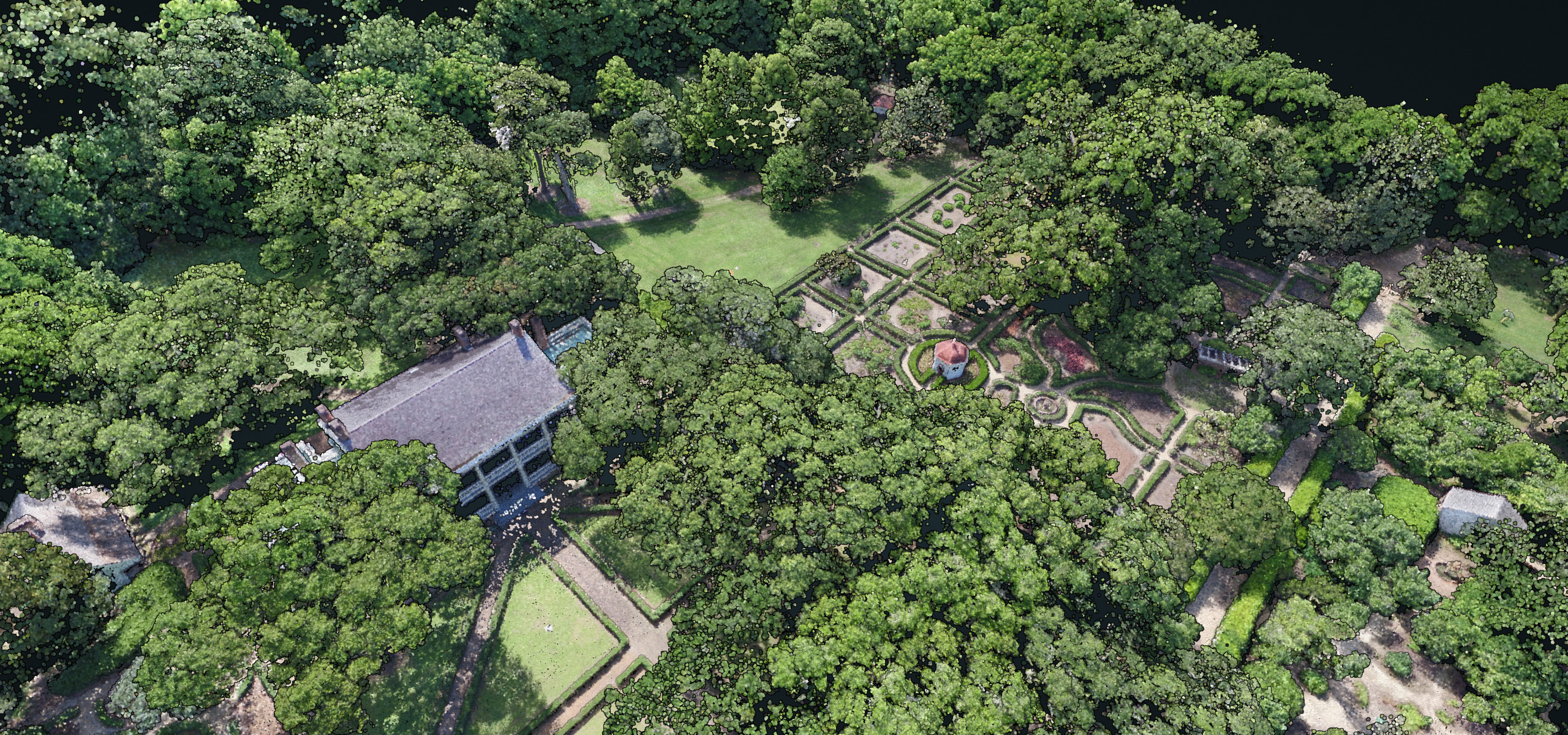
Heritage Preservation
Field Recordings
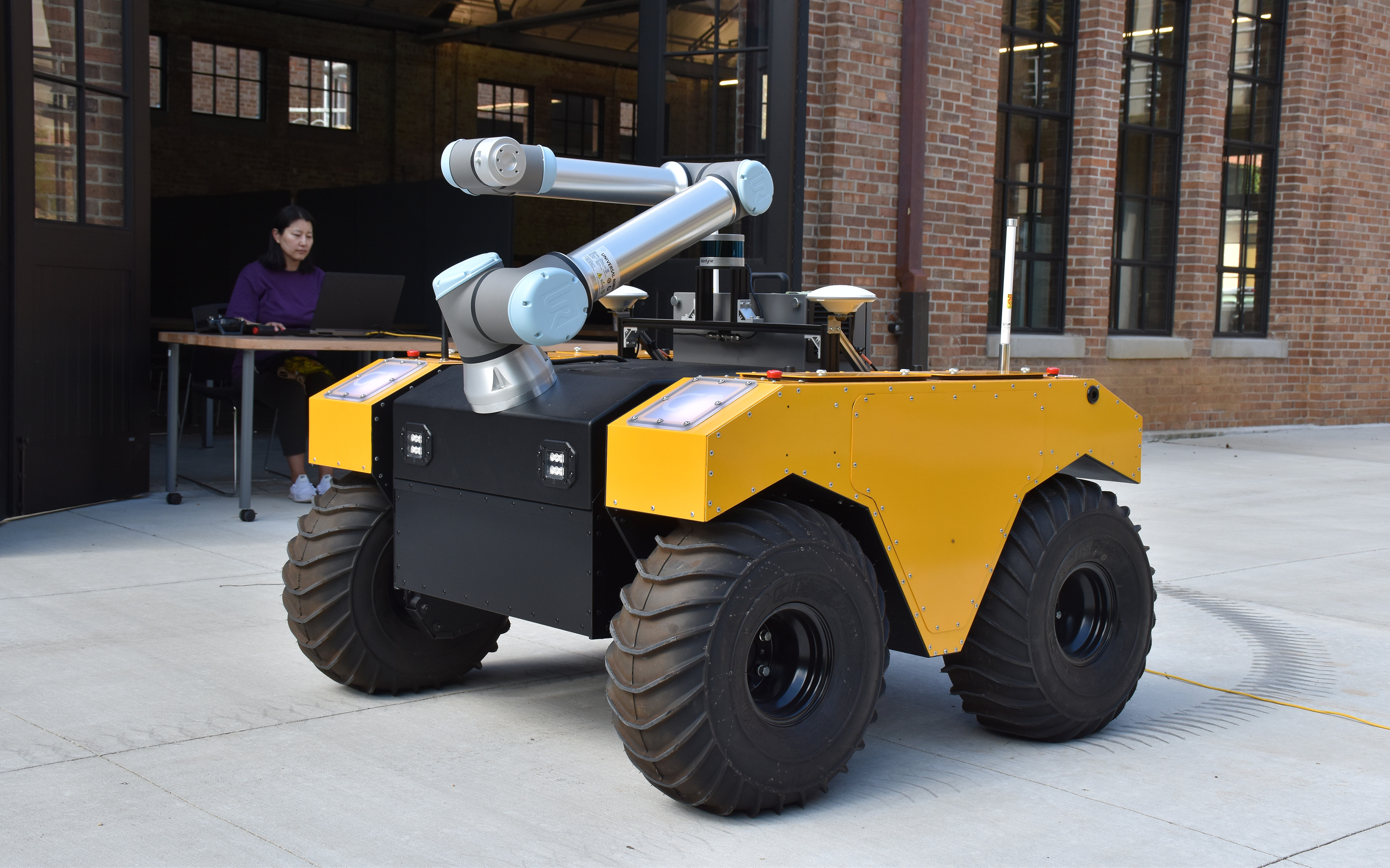
Ecological Robotics
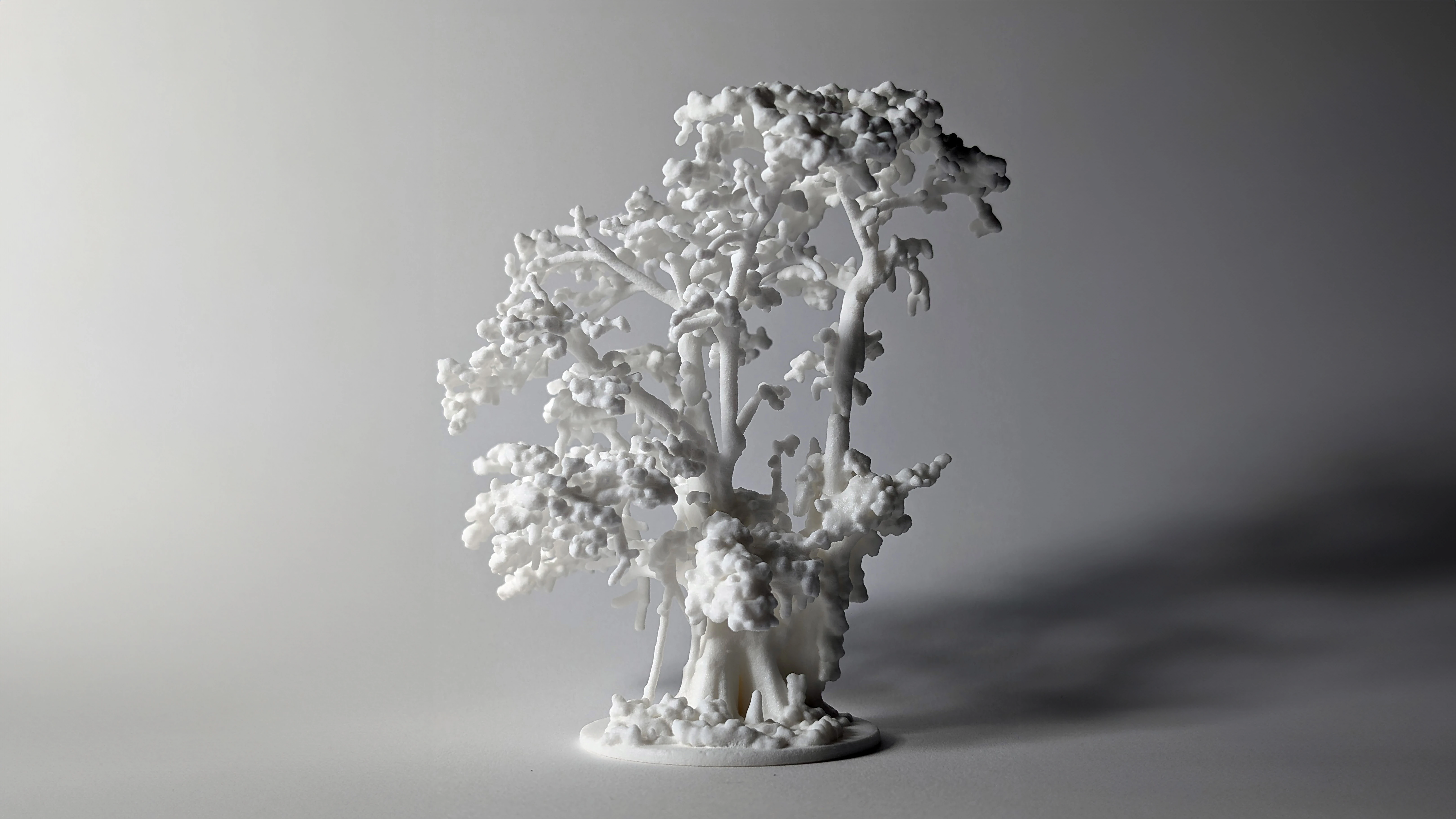
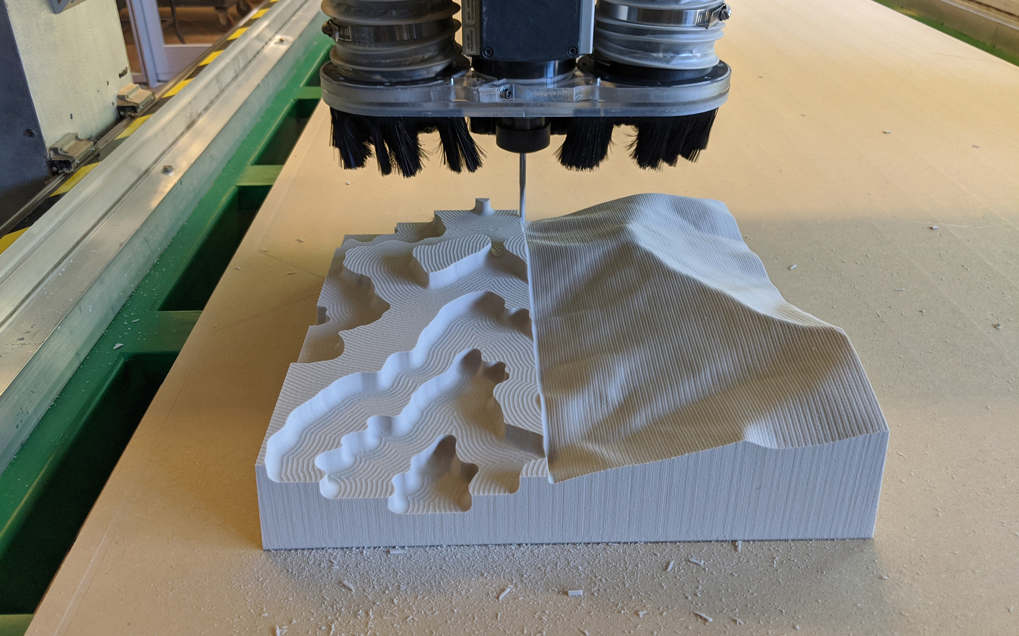
Computational Design
Spatial Science
Soundscapes
Heritage Preservation
Field Recordings
Ecological Robotics
Computational Design