3D Scanning Rosedown
03 October 2021
Rosedown Plantation
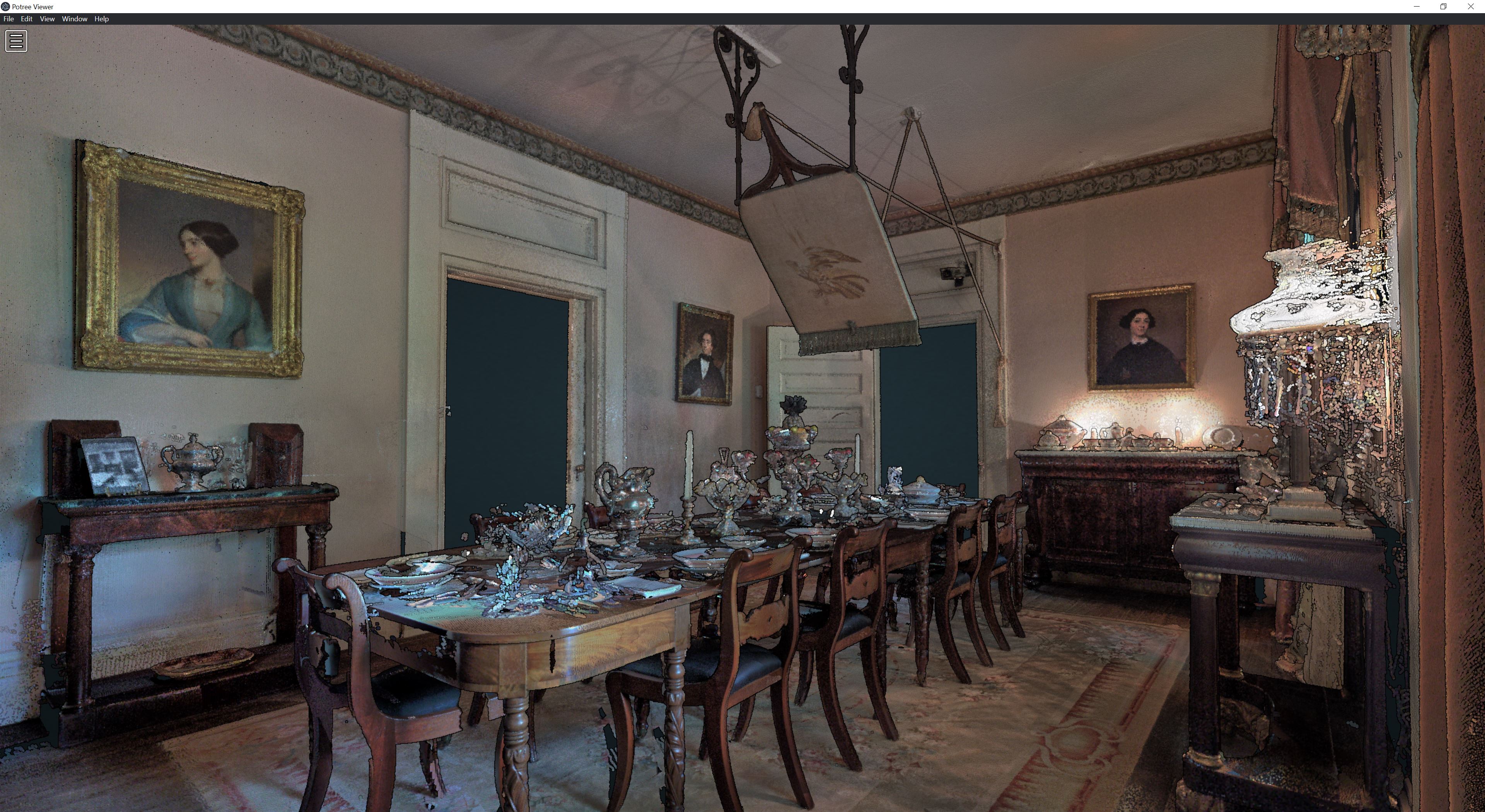
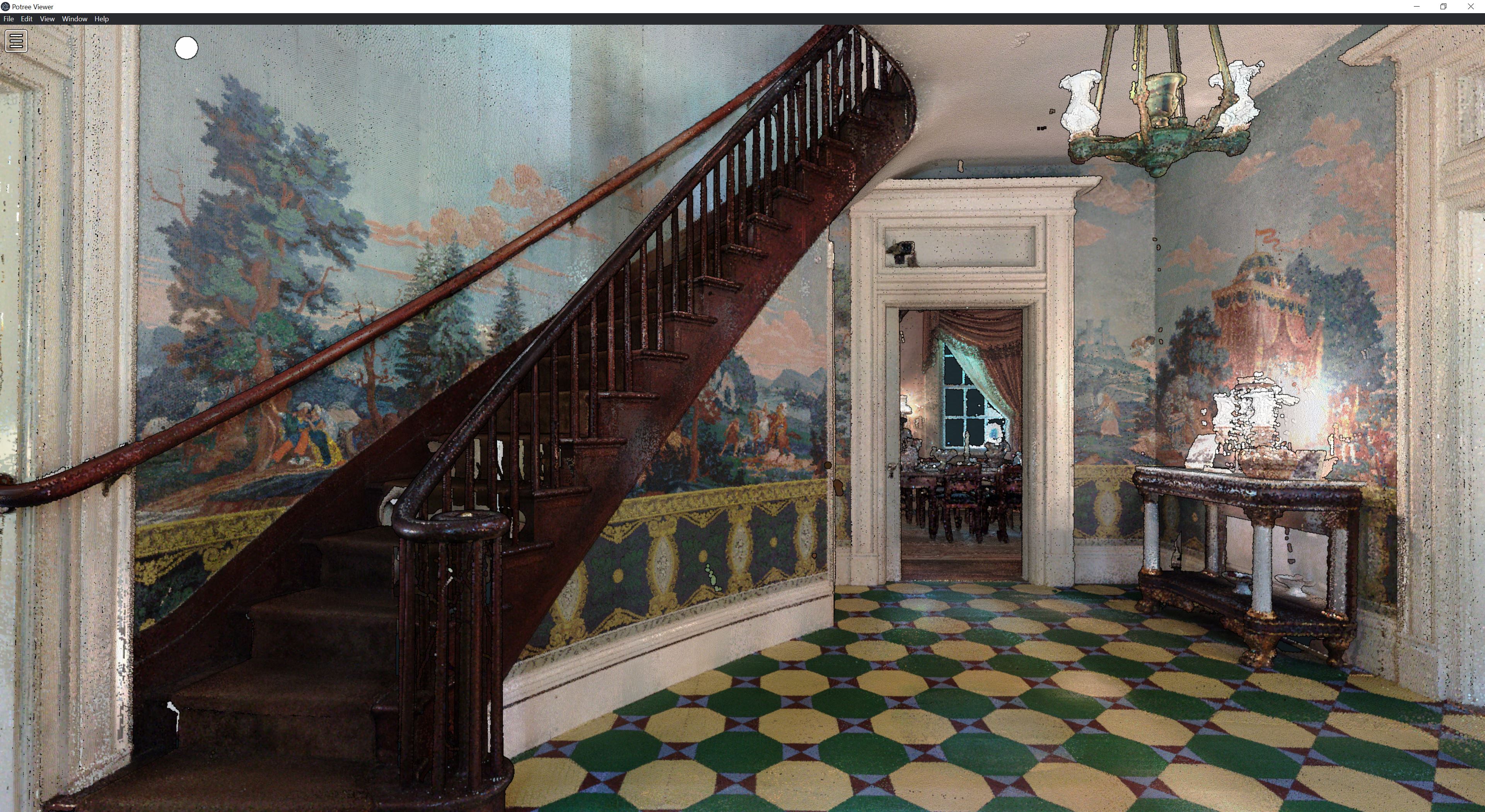
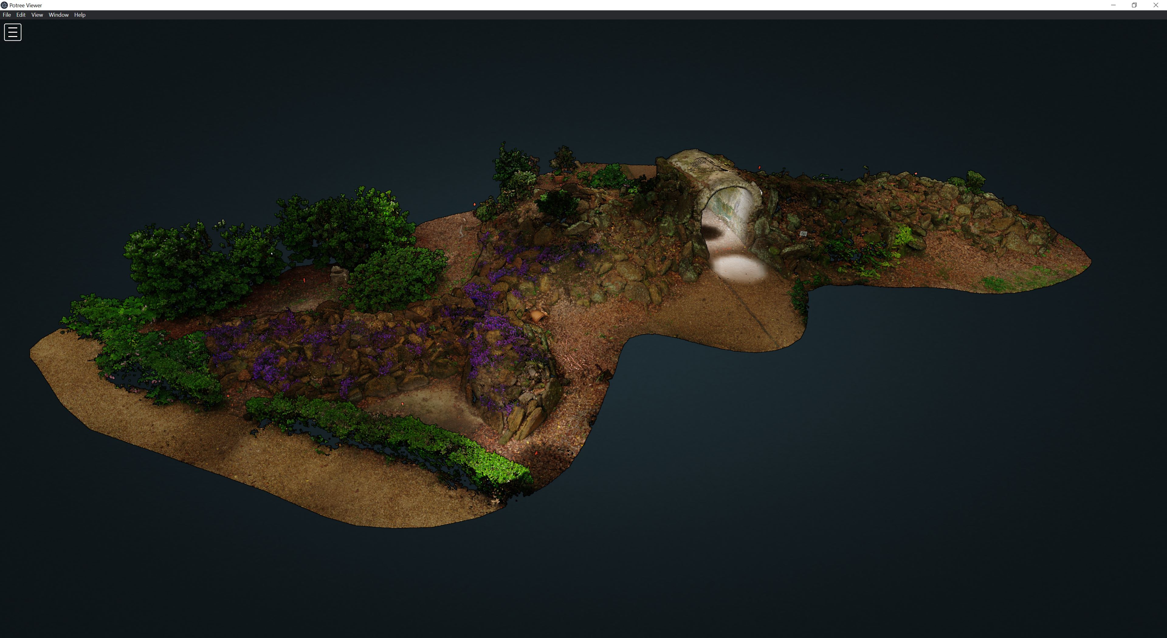
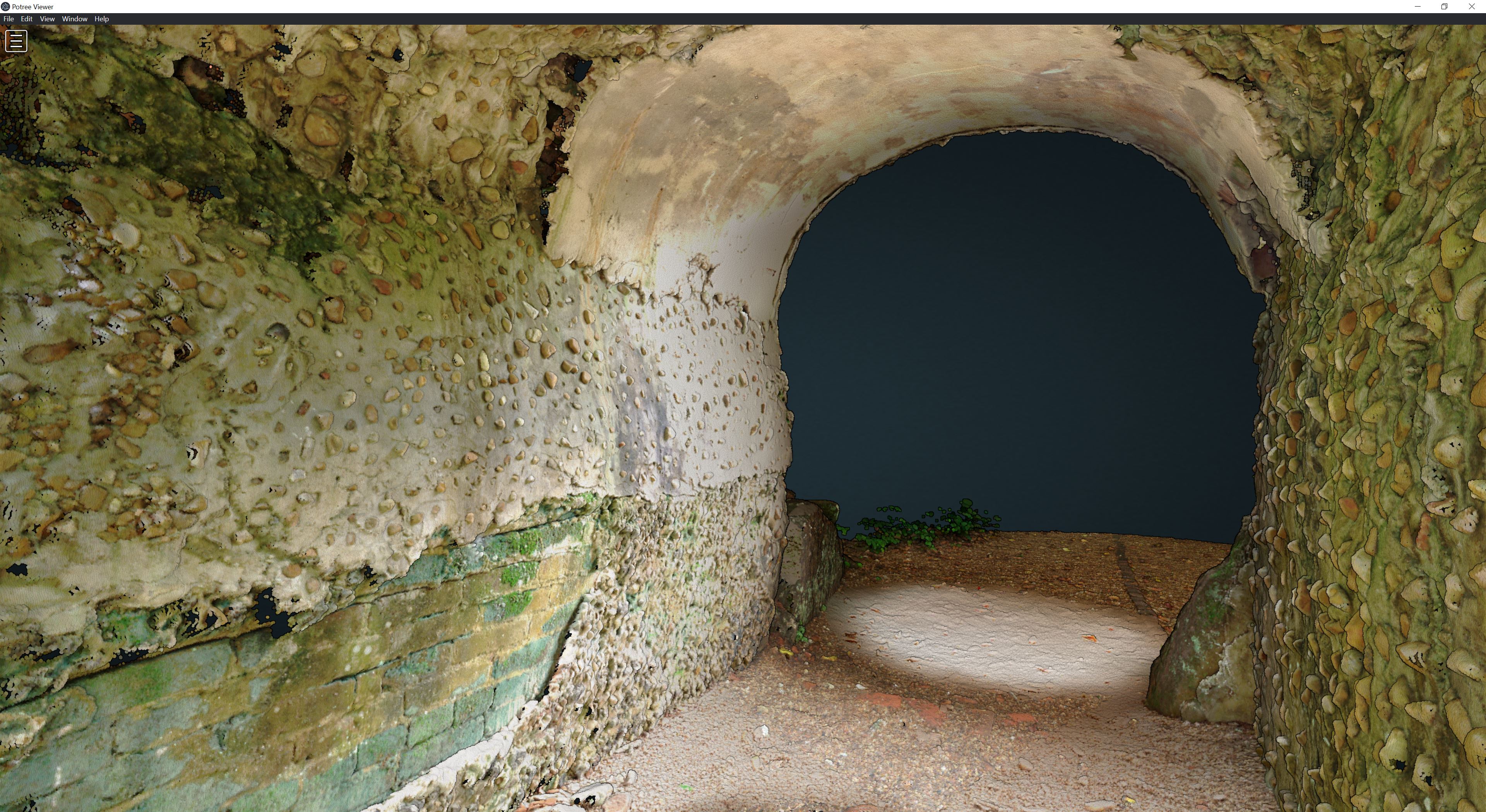
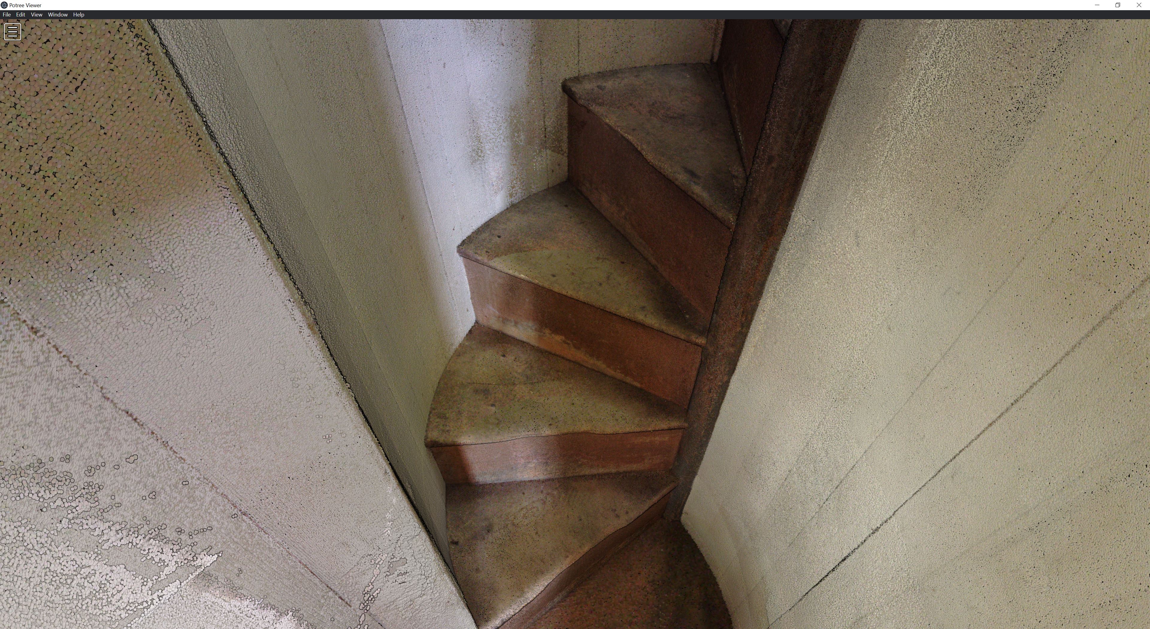
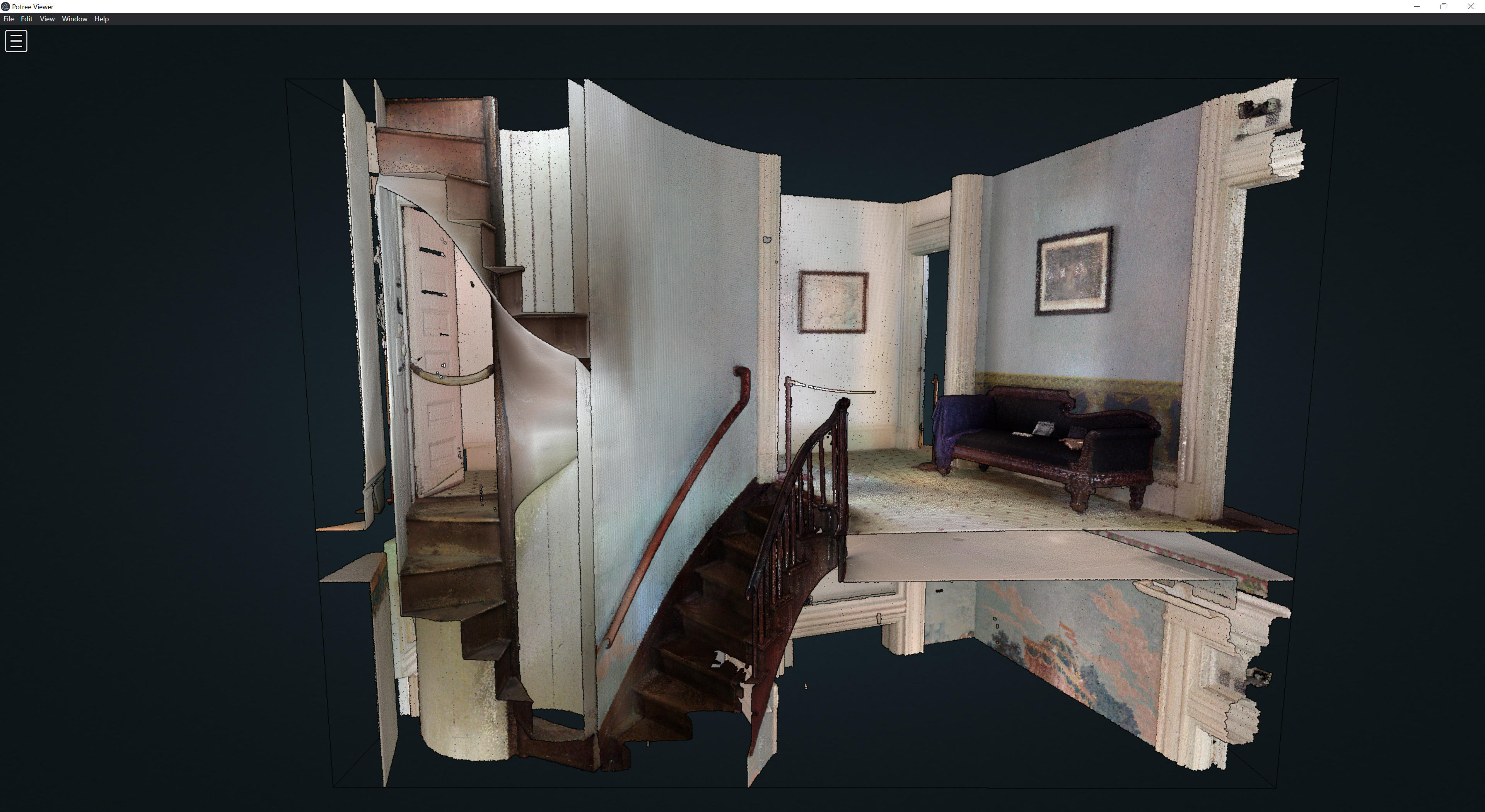
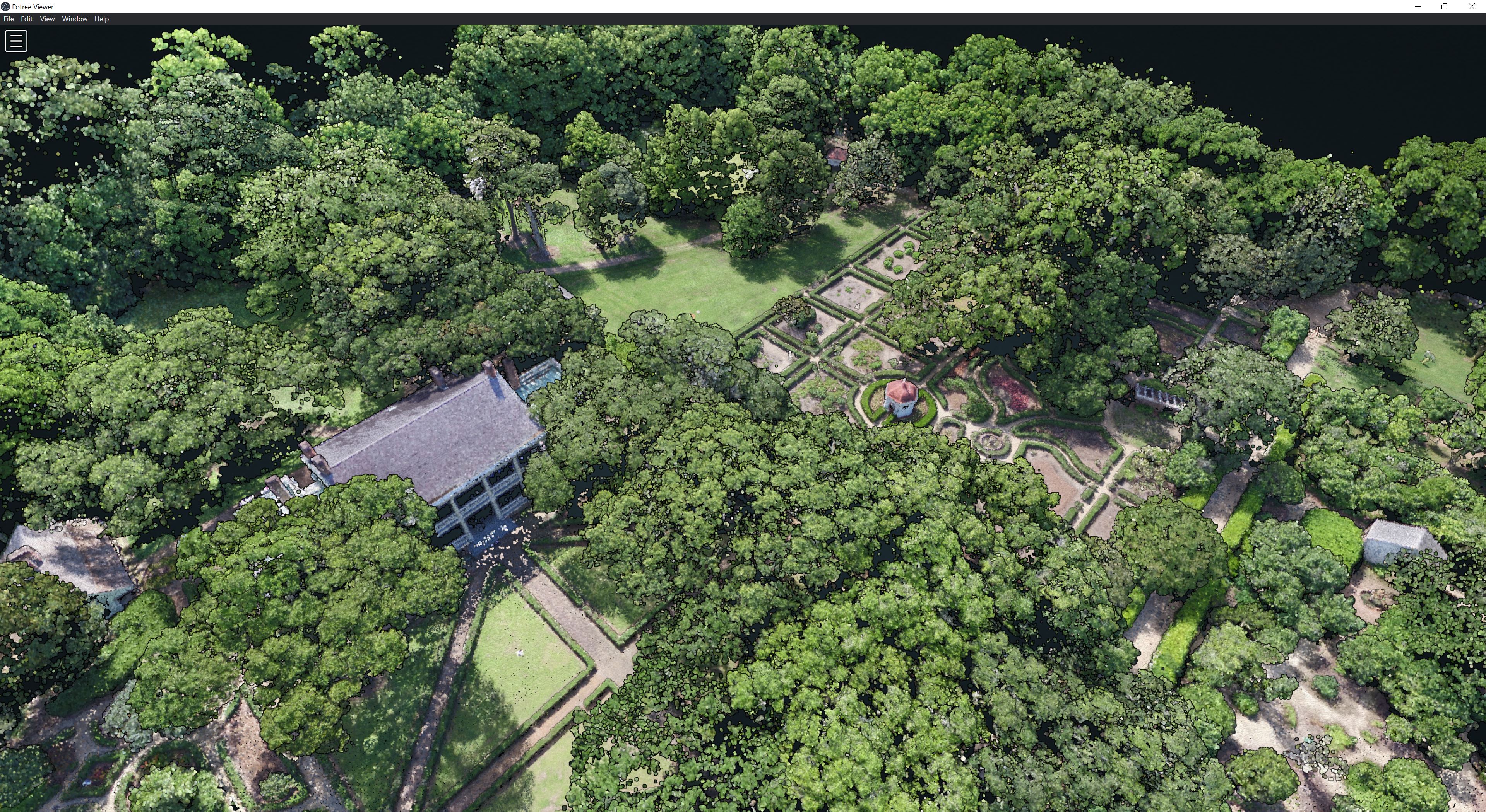
After a summer of laser scanning and drone photogrammetry, we have recorded Rosedown Plantation and its grounds as a set of point clouds. In September we presented our work 3D scanning the plantation at the Southeast Chapter of the Society of Architectural Historians’ annual conference (SESAH 2021) in Natchez, Mississippi. Our server xyz.cct.lsu.edu with Potree point cloud viewers is live. Check out the rockery, interior, formal gardens, allée, and landscape.
Site: Rosedown Plantation, St. Francisville, Louisiana, USA
Team Leads: Brendan Harmon & Nicholas Serrano
Team: Josef Horacek, Sasha Matthieu, William Conrad, Javier Zamora, Matthew Cranney, & Ming Li
Drone: DJI Matrice 600 Pro with Zenmuse X5
Laser Scanner: Faro Focus
Funding: National Park Service’s Historic Preservation Fund
