Embodied Spatial Thinking in Tangible Computing
Abstract
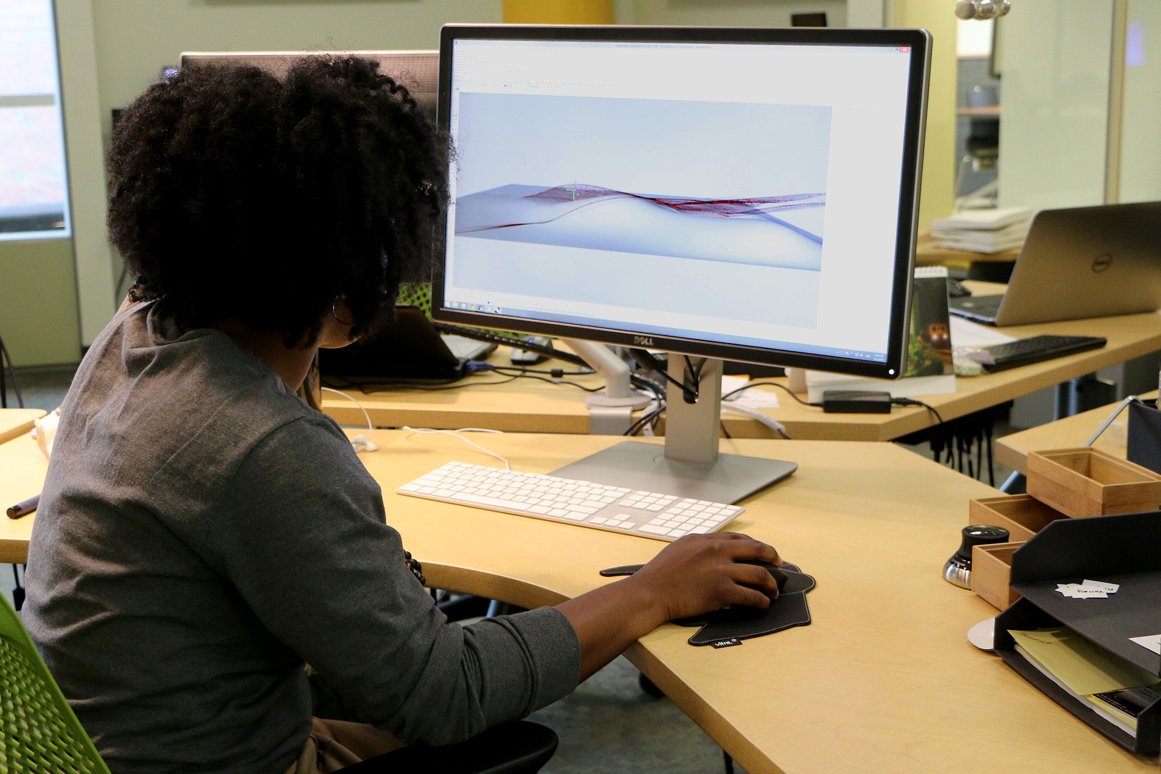
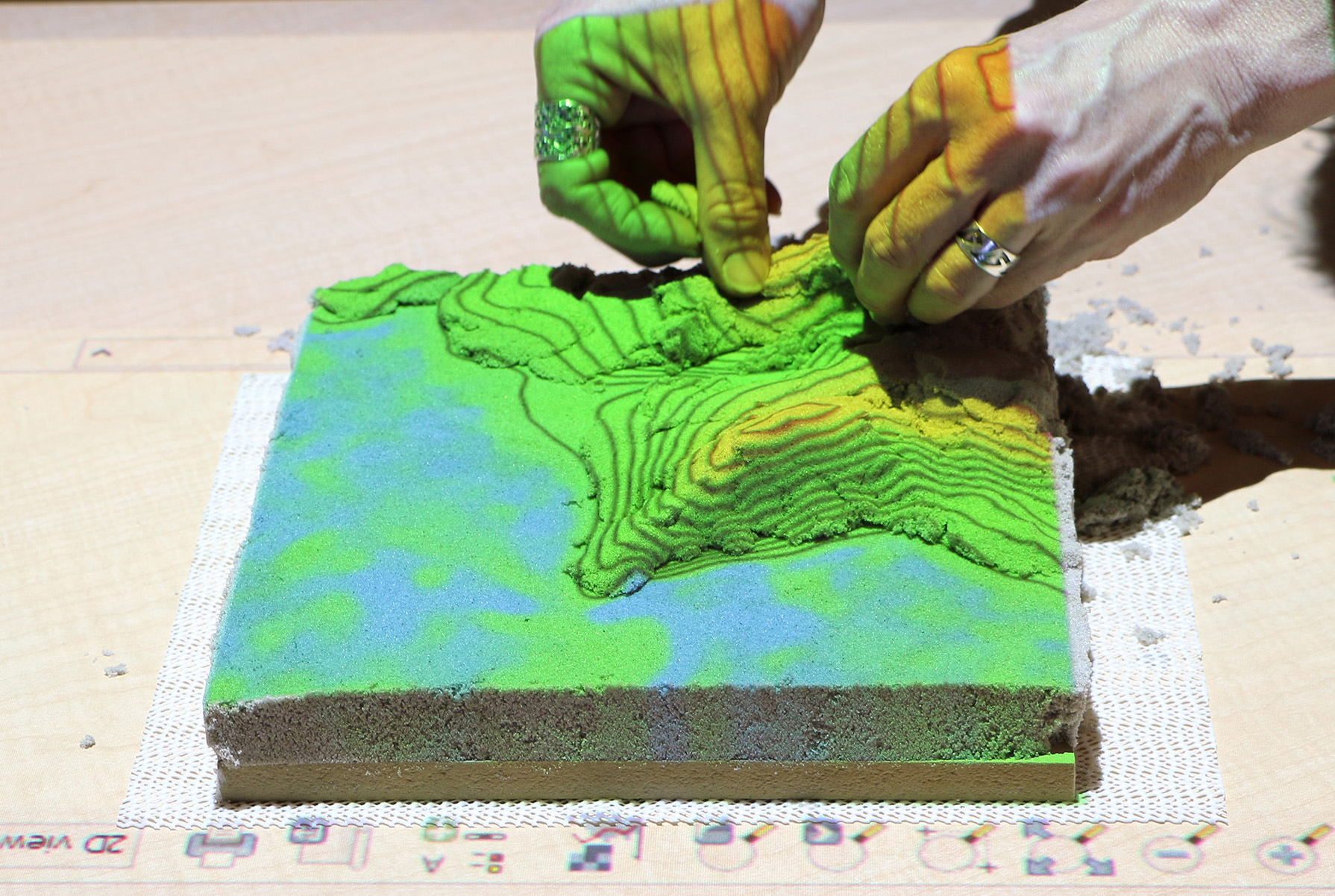
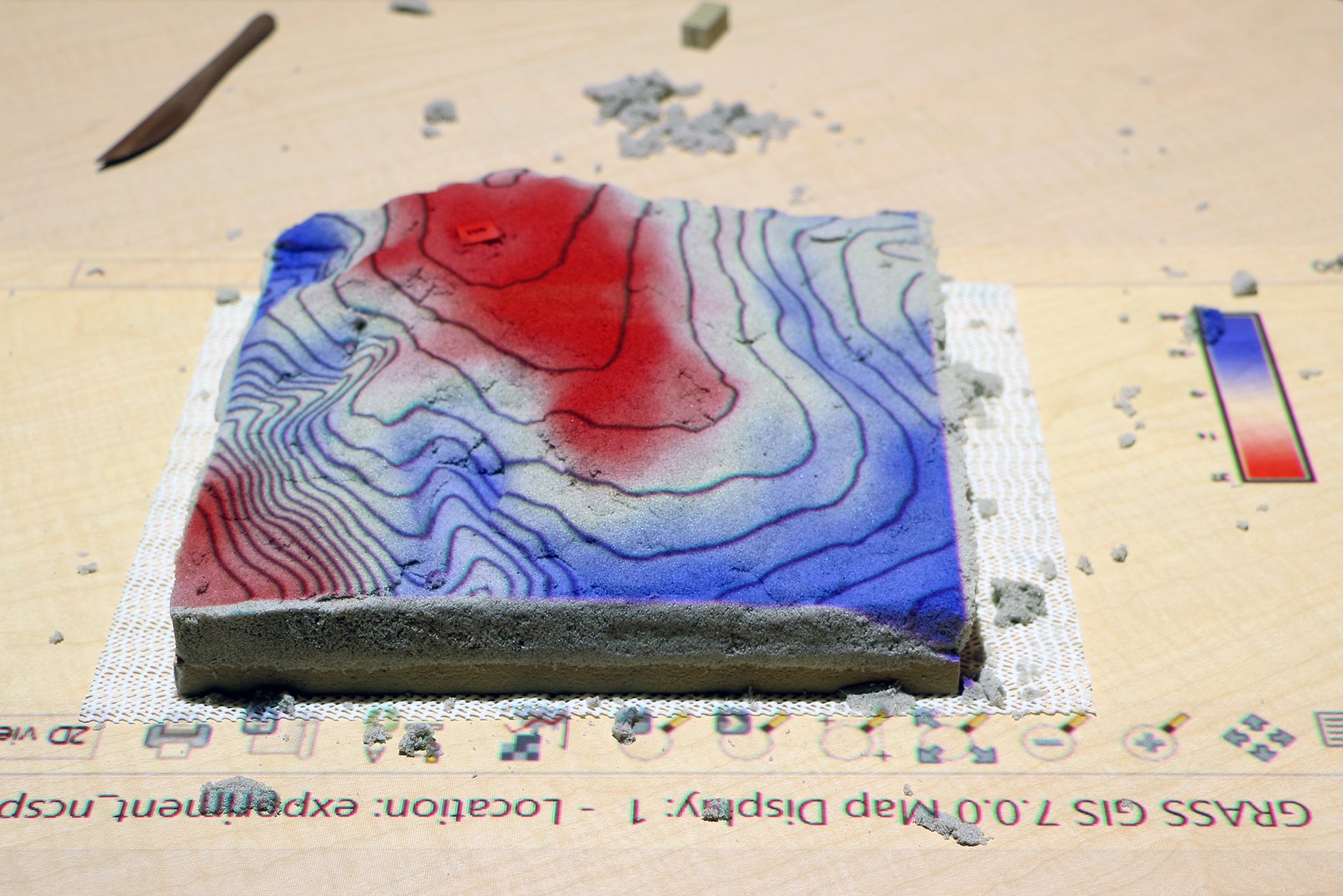
Tangible user interfaces are based on the premise that embodied cognition in computing can enhance cognitive processes. However, the ways in which embodied cognition in computing transform spatial thinking have not yet been rigorously studied. As we continue to design and develop Tangible Landscape – a continuous shape display powered by a geographic information system – we are using it to explore how technology mediates creativity and spatial cognition in an experiment. In this terrain modeling experiment we use geospatial analytics supplemented by semi-structured interviews and direct observation to analyze how visual computing with a GUI and tangible computing with a shape display mediate multidimensional spatial performance.
Testable hypotheses
We hypothesize that:
- limited feedback constrains spatial performance,
- illusions can lead to the misinterpretation of 3D space in visual computing reducing spatial performance,
- computational analytics like differencing and flow simulations can enhance spatial performance,
- computationally enriched analytical thinking can be coordinated with embodied thinking,
- tangible computing that computationally enhances embodied spatial thinking can improve spatial performance, and
- tangible computing can enable a rapid iterative process of exploratory, generative form-finding that can improve spatial performance.


Code
As a work of open science the data and the python scripts for data analysis are publicly available on GitHub at https://github.com/baharmon/tangible_topography released under the GNU General Public License version 2. Both GRASS GIS and Tangible Landscape are open source projects released under the GNU General Public License version 2. Tangible Landscape is available on GitHub at https://github.com/ncsu-osgeorel/grass-tangible-landscape.